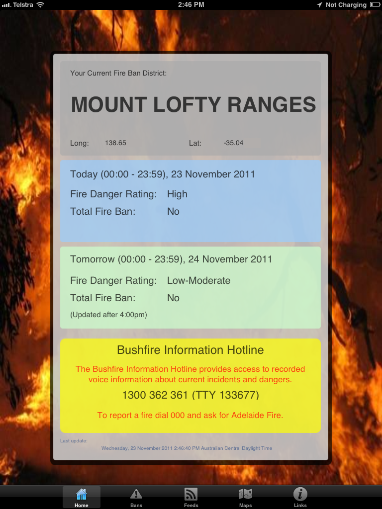
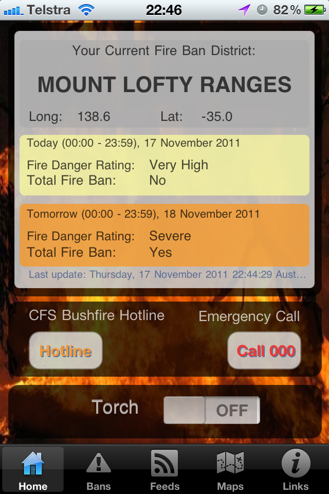
An essential part of any Bushfire Survival Plan is to regularly check
Fire
Danger Ratings and be aware of changing circumstances on days of
elevated fire danger.
Key features:
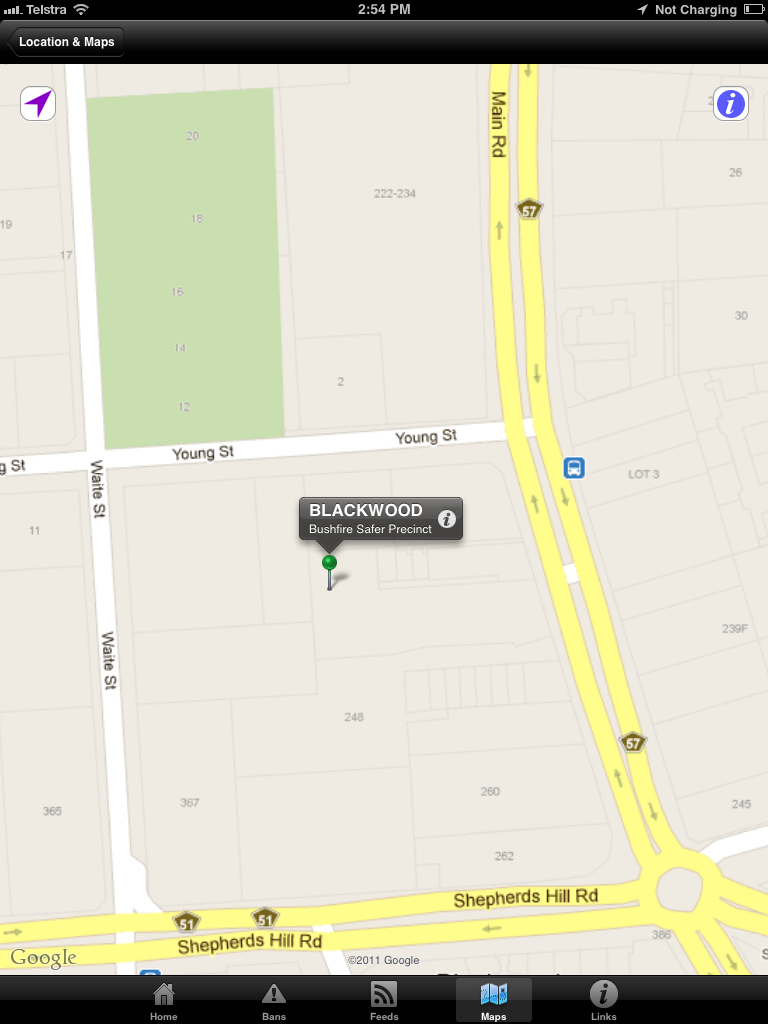
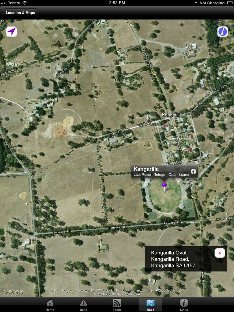
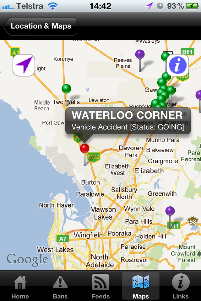
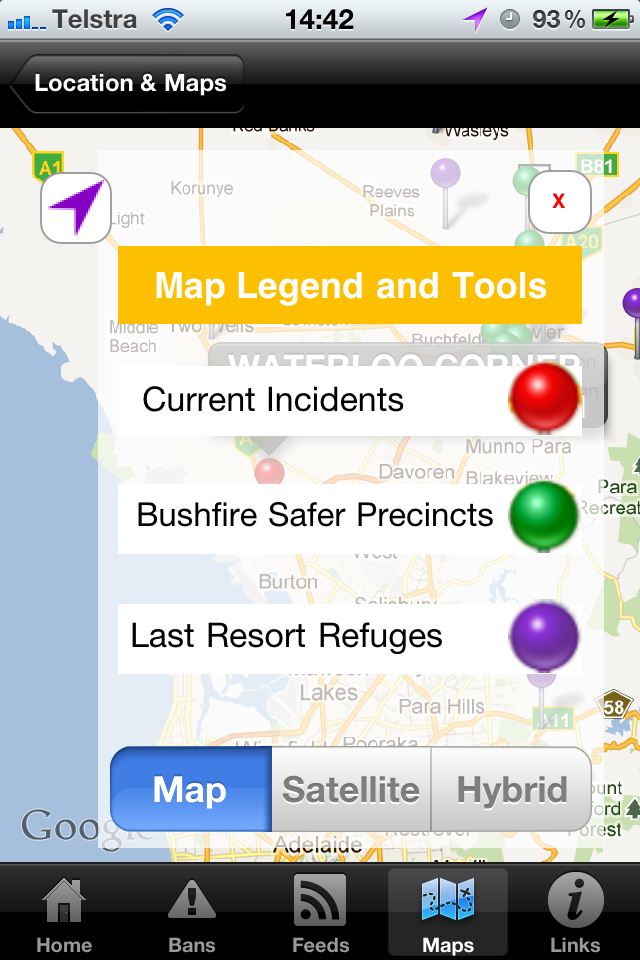
- Interactive
map displaying current incidents as well as Bushfire Safer Places in
your location
- Fire Danger Ratings and
Total Fire Ban Status in your Fire Ban District for today and tomorrow
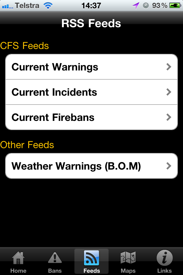
- Integrated display of SA
CFS and BOM RSS feeds
- All mapping information
based on your current location through full GPS integration
- Buttons to call both
'000' and the CFS Bushfire Information Hotline
- Use your iPhone as a
torch (iPhone 4 and above)
Additional features:
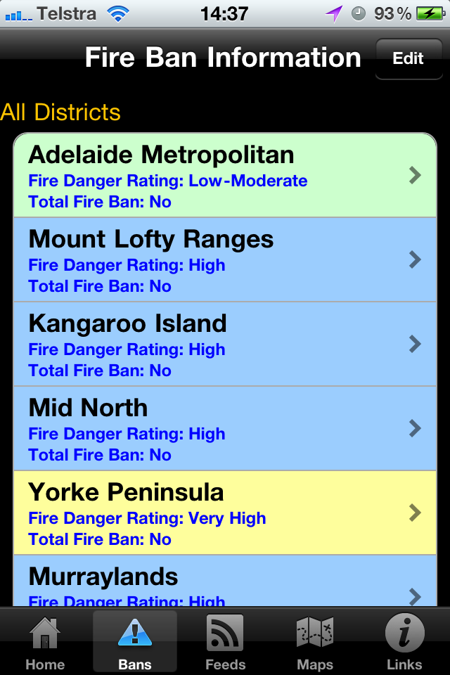
- Fire
Danger Ratings and Total Fire Ban Status for all 15 Fire Ban Districts
- Alphabetic
list of Bushfire Safer Settlements
- Map
of all Fire Ban Districts
- Links
to SA CFS documentation:
- Factsheets
- Bushfire
Safer Precinct Maps
- Household
self-assessment tool
- SEWS
warning signal sample